
Plaetje:Map of Italy blank.svg

Afmetingen van deze voorvertoning van het type PNG van dit SVG-bestand: 480 × 600 pixels Andere resoluties: 192 × 240 pixels | 384 × 480 pixels | 614 × 768 pixels | 819 × 1.024 pixels | 1.638 × 2.048 pixels | 1.200 × 1.500 pixels.
Volledige resolutie (SVG-bestand, nominaal 1.200 × 1.500 pixels, bestandshroôtte: 822 kB)
Saemenvattieng
| Beschrijving |
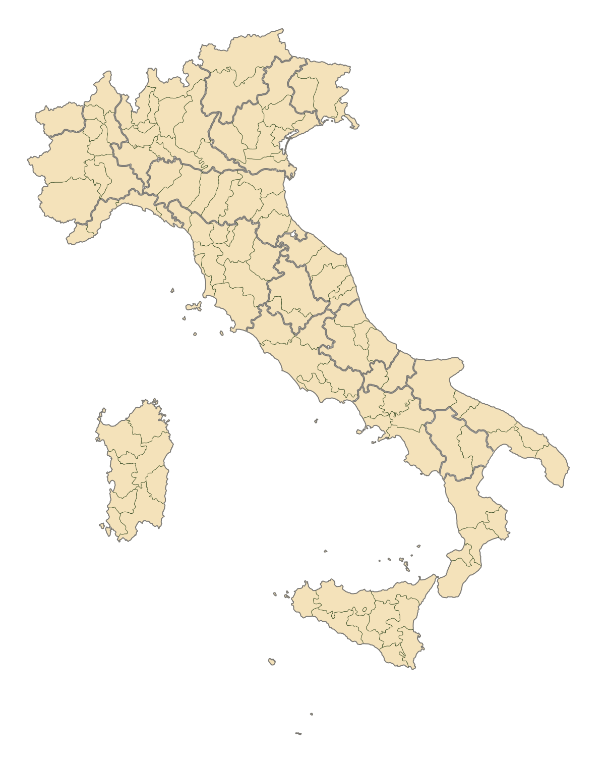
English: Blank map of Italy, divided in provinces. It can be easily divided even in regions. Situation before 2009. |
||
| Datum | |||
| Bron | Eigen werk | ||
| Auteur | F l a n k e r | ||
| Toestemming (Hergebruik van dit bestand) |
|
||
| Andere versies |
Derivative works of this file: |
.svg)
.svg)
.svg)
.svg)
.svg)
.svg)
Bestandsgeschiedenisse
Klik op 'n datum/tied om 't bestand te zien zoas 't van d'r tied woas.
| Datum/tied | Miniatuur | Ofmetiengen | Gebruker | Opmerkienge | |
|---|---|---|---|---|---|
| hudige versie | 2 oes 2015 19:42 | | 1.200 × 1.500 (822 kB) | Carnby | IT-TS+IT-88 |
| 31 jul 2015 22:54 |  | 1.200 × 1.500 (823 kB) | Carnby | Rimini | |
| 3 dec 2009 19:56 |  | 1.200 × 1.500 (821 kB) | F l a n k e r | Added provinces of Molise | |
| 3 dec 2009 00:15 |  | 1.200 × 1.500 (820 kB) | Vonvikken | Fixed wrong borders between Abruzzo and Molise | |
| 28 mrt 2007 11:58 |  | 1.200 × 1.500 (828 kB) | F l a n k e r | ||
| 12 jan 2007 17:56 |  | 1.200 × 1.500 (552 kB) | F l a n k e r | ||
| 19 nov 2006 12:10 |  | 1.200 × 1.500 (559 kB) | F l a n k e r | {{Information |Description=Blank map of Italy, divided in provinces. It can be easily divided even in regions. |Source= |Date=19 Nov. 2006 |Author=F l a n k e r |Permission= |other_versions= }} |
Bestandsgebruuk
Hin enkele pagina gebruukt dit bestand.
Globaal bestandsgebruik
De volgende andere wiki's gebruiken dit bestand:
- Gebruikt op ast.wikipedia.org
- Gebruikt op ca.wikipedia.org
- Gebruikt op gl.wikipedia.org
- Gebruikt op hy.wikipedia.org
- Gebruikt op ia.wikipedia.org
- Gebruikt op it.wikinews.org
- Gebruikt op ru.wikipedia.org
- Gebruikt op tg.wikipedia.org
- Gebruikt op uk.wikipedia.org
- Gebruikt op www.wikidata.org